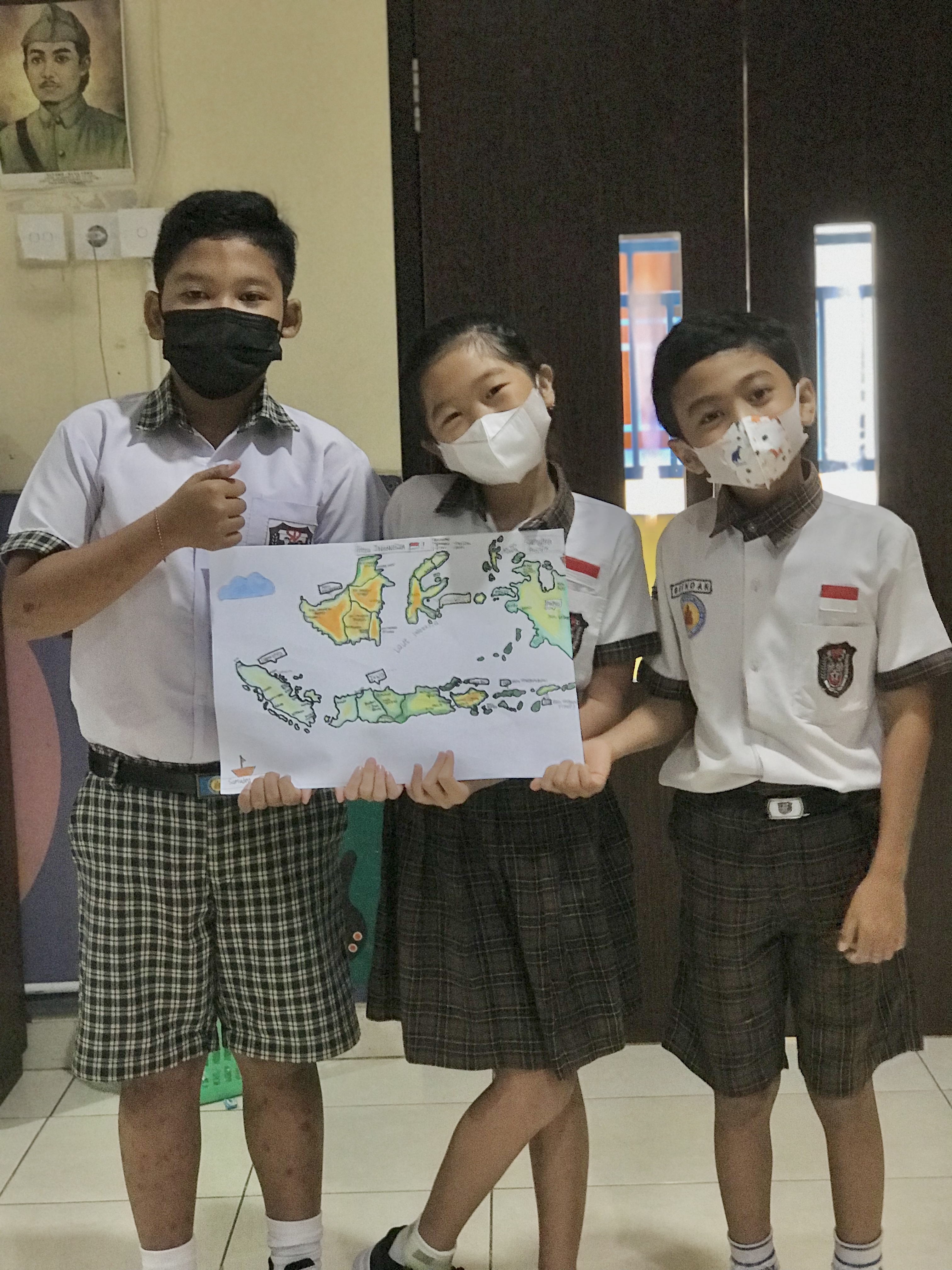
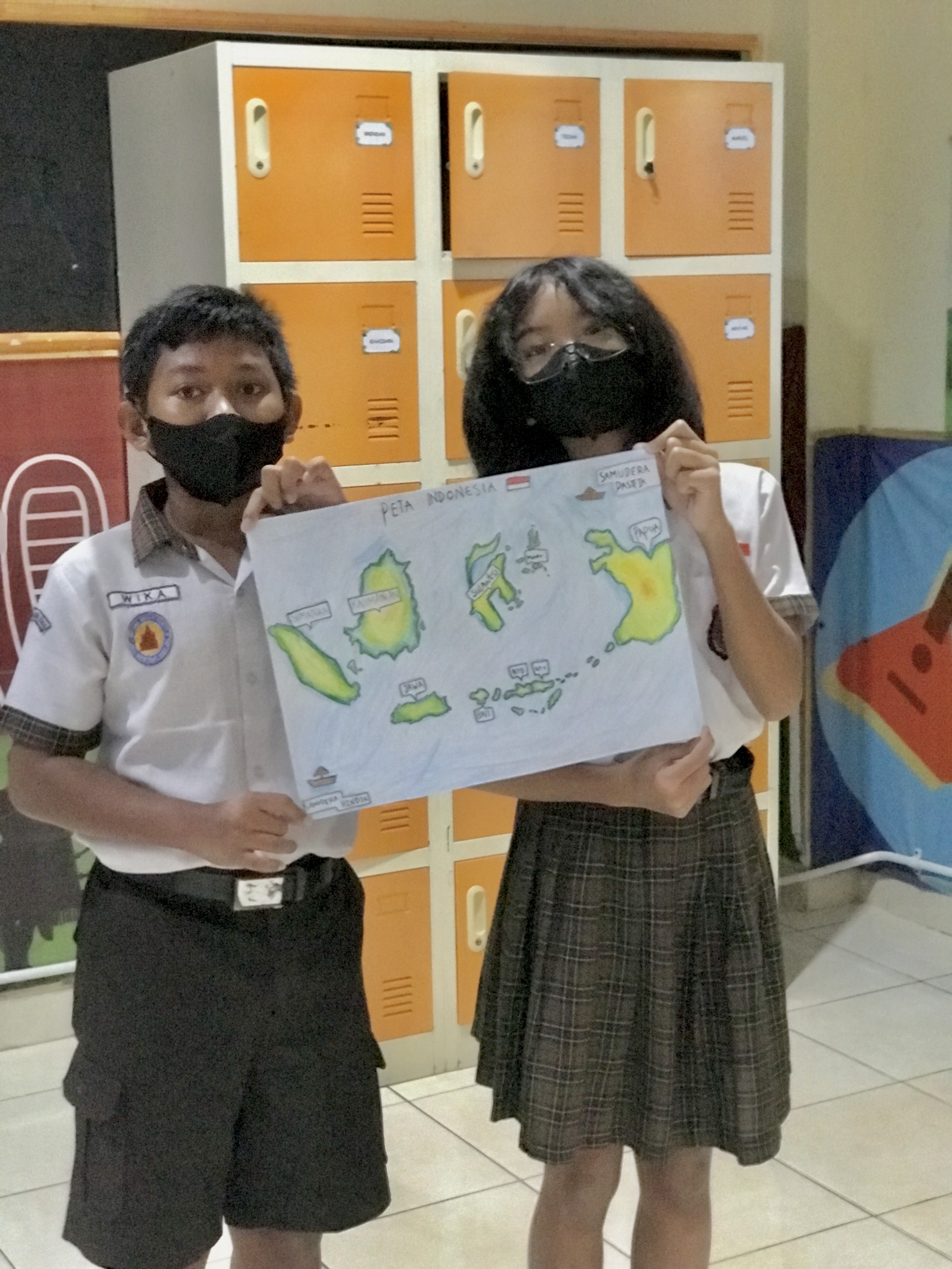
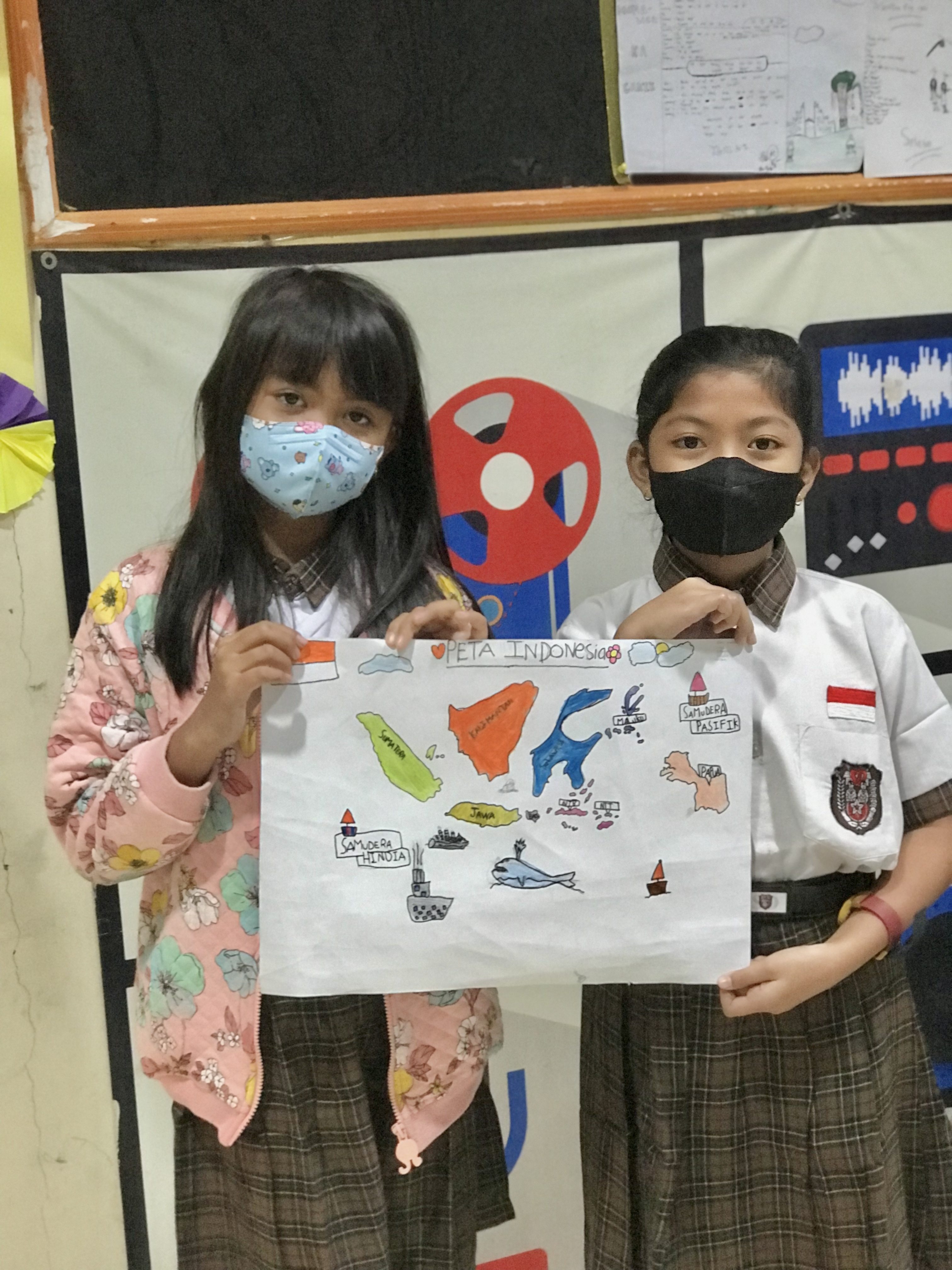
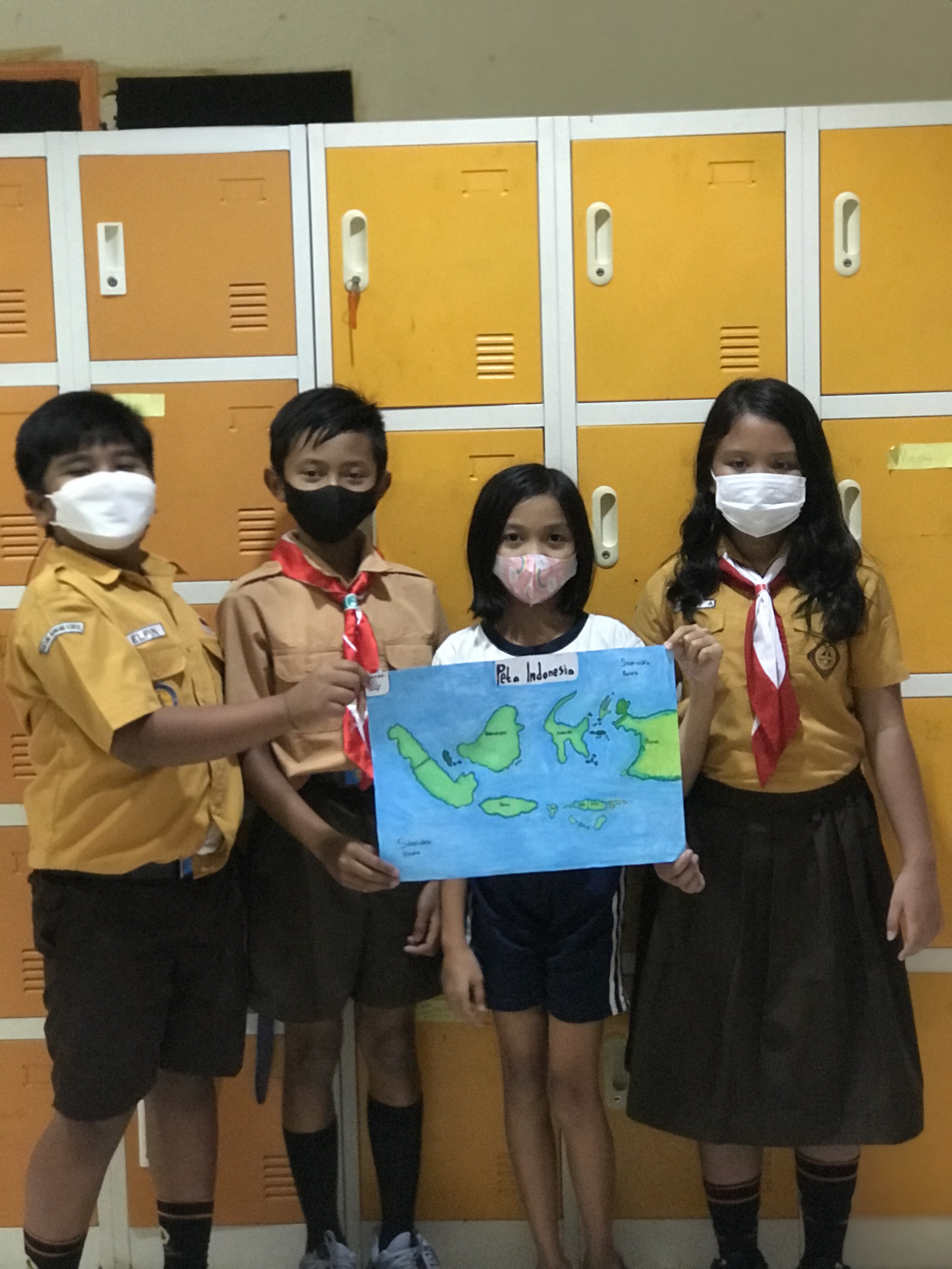
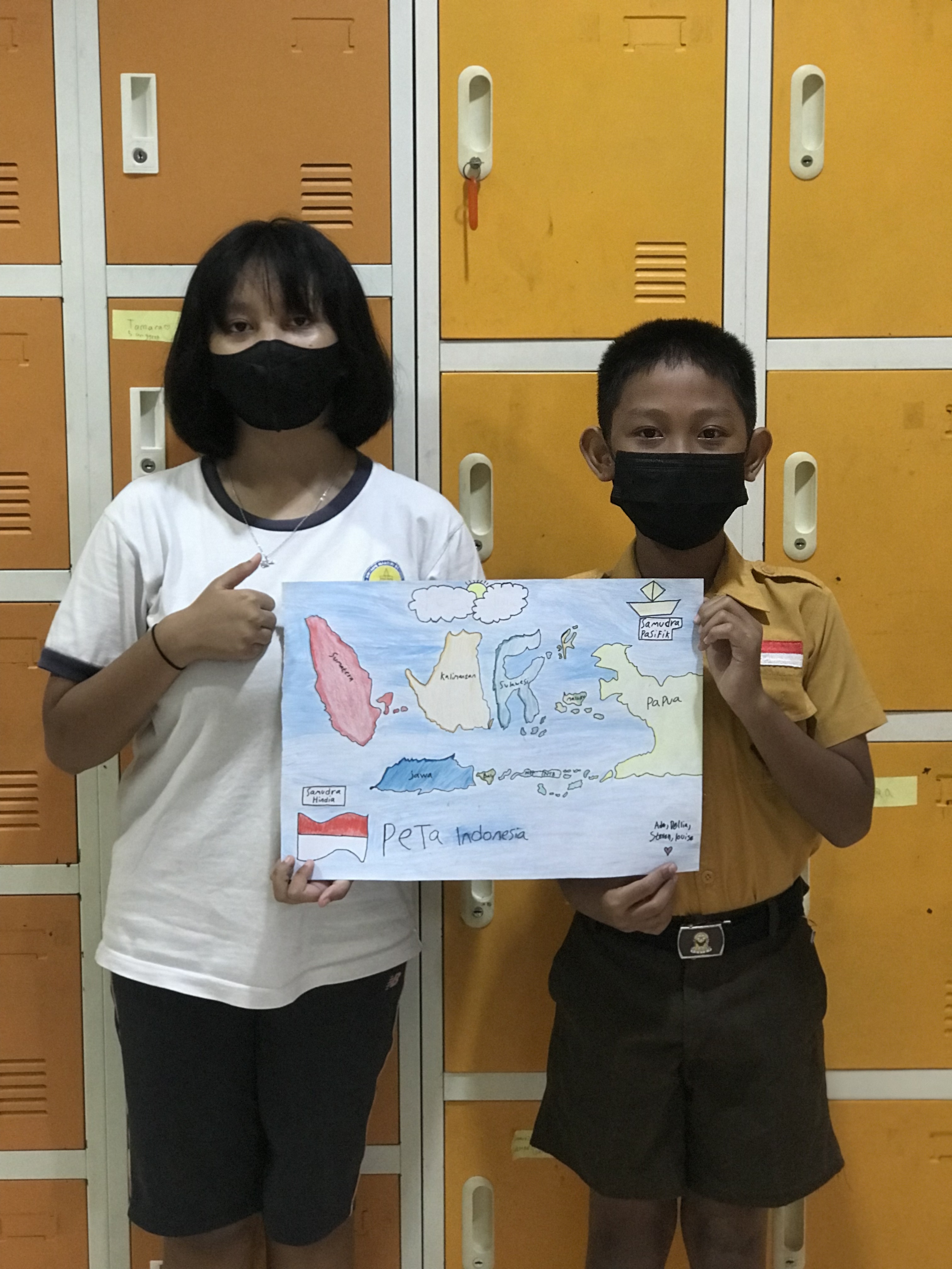
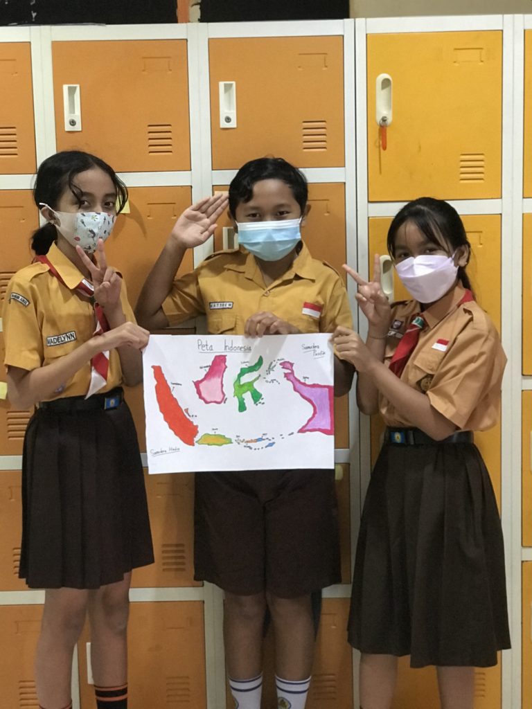
A map of Indonesia is a picture or painting that represents the territory of Indonesia in a flat form. Through this map, we can understand various regions in Indonesia which consist of several islands and provinces in it.
Let’s see the following map image on which island and province you live in.